Okay.
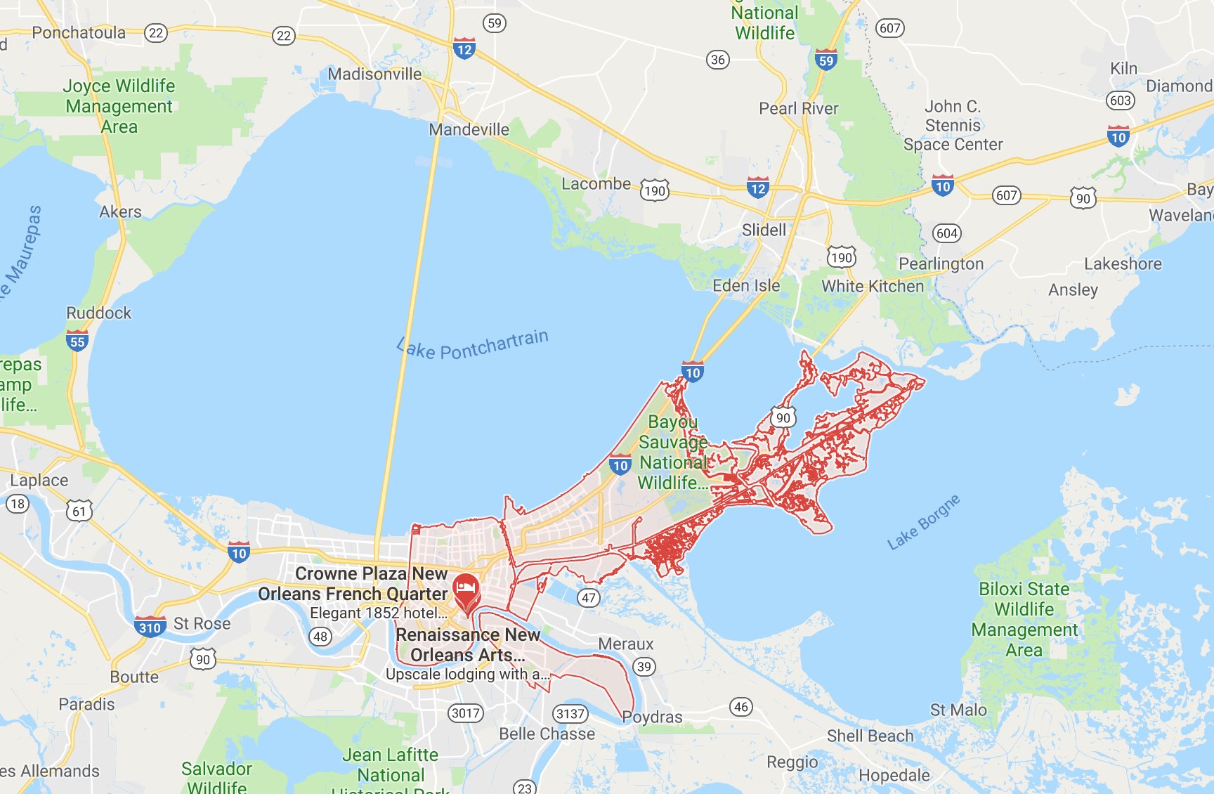
Red outline would dictate the boundaries for a parish, or county.

The mouth of the Mississippi River, Erosion took away land that was there.
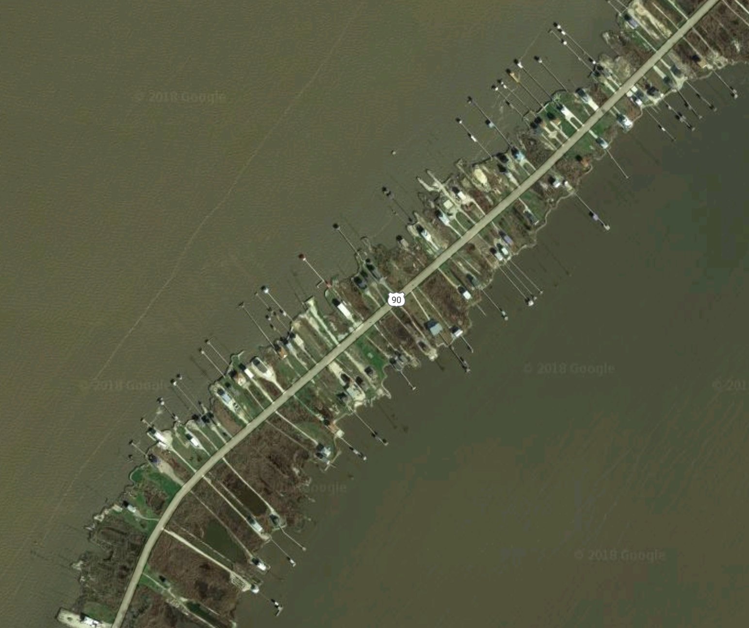
Highway 90, an old highway before interstates were a thing.
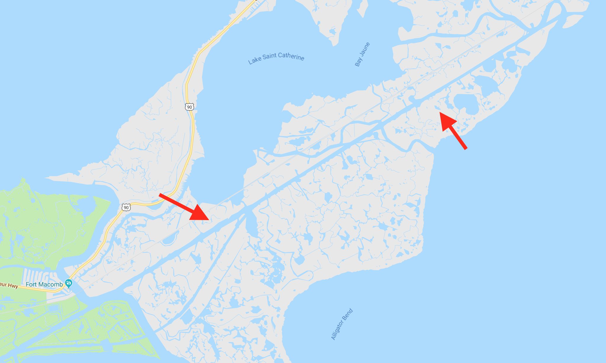
Gulf Intracoastal Waterway-
https://en.wikipedia.org/wiki/Gulf_Intracoastal_WaterwayLake Borgne was a lake at one point, but erosion happened.
The bridge from Metairie to Mandeville was constructed to, believe it or not, connect the two parishes the most direct way possible since before a ferry service was needed.
The Mississippi River-Gulf Outlet, or MRGO as it were Not used since the levees for it broke during Katrina.